top of page
Geographic information systems (GIS) and related technologies have become essential in developing new routes and studying the impact of existing thoroughfares. The field of remote sensing - the use of aerial sensors to obtain imagery of the Earth's surface and observe changes and disruptions to the environment - is chief among these.
If you're interested in the use of remote sensing for transportation and infrastructure, or would like to learn more about what this important discipline has to offer, this website will be your primary resource. Taking a case study approach, this site contains information on major uses of remote sensing

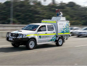
Track and measure emissions.
Observe conditions on the road to inform maintenance decisions.
Enhance environmental impact assessment of new infrastructure projects.
to About
to Work
to Services
About
Utilization: Fast Facts
Contact


All imagery is either uploaded from Wix Free Imagery or linked to original source by selecting the image.
bottom of page

